- Republic of the Congo Weather
- Choose Weather From Menu ↓↓↓
- Weather App

- Weather Map
- Satellite: Clouds and Sun
- Weather TV LIVE
- Time Now

- Satellite: Clouds and Sun
![Satellite: Clouds and Sun]() Satellites provide essential data for weather forecasting by continuously monitoring Earth's atmosphere, tracking cloud formations, and detecting changes in temperature, humidity, and wind patterns. Advanced satellite technology captures high-resolution images of clouds, helping meteorologists predict storms, hurricanes, and other extreme weather events with greater accuracy.
Satellites provide essential data for weather forecasting by continuously monitoring Earth's atmosphere, tracking cloud formations, and detecting changes in temperature, humidity, and wind patterns. Advanced satellite technology captures high-resolution images of clouds, helping meteorologists predict storms, hurricanes, and other extreme weather events with greater accuracy. - World Water Temperature / Sea Surface Temperature
![World Water Temperature]() Monitoring world water temperature and sea surface temperature (SST) is critical for understanding global climate patterns, marine ecosystems, and weather forecasting. Satellites and ocean buoys collect precise SST data, revealing trends such as El Niño and La Niña events, which influence rainfall, hurricanes, and marine biodiversity.
Monitoring world water temperature and sea surface temperature (SST) is critical for understanding global climate patterns, marine ecosystems, and weather forecasting. Satellites and ocean buoys collect precise SST data, revealing trends such as El Niño and La Niña events, which influence rainfall, hurricanes, and marine biodiversity.


- Flight radar
![Flight radar, Weather today]() Tracking flights in real-time has become an essential tool for travelers and aviation enthusiasts alike, thanks to platforms like Flightradar24 and Google Flight Radar. These services provide up-to-the-minute updates on flight status, allowing users to monitor flights worldwide with ease.
Tracking flights in real-time has become an essential tool for travelers and aviation enthusiasts alike, thanks to platforms like Flightradar24 and Google Flight Radar. These services provide up-to-the-minute updates on flight status, allowing users to monitor flights worldwide with ease.
- Satellite: Clouds and Sun
 Realtime satellite sun and cloud images. Cloud cover map – your current and reliable cloud forecast. Weather maps provide past, current, and future radar and satellite images for local cities and regions. Currently, the cloud motion data used to derive wind measurements are observed from geostationary satellites on Weather today.
World Water Temperature / Sea Surface Temperature We provide information on global climate conditions along with detailed current sea water temperature data. Current sea and water temperature for 12,000 resorts and beaches worldwide. Also see animated maps of tides. Great informations for surfers and windsurfers.Worldwide Earthquakes
 The latest earthquakes shown on a map. List of all earthquakes today / past 24 hours. Continuously updated in near-real time on Weather today. The USGS sends out earthquake data at regular time intervals.
Air Quality Real time air quality indicators for every country. The Air Quality Index is based on measurement of particulate matter (PM2.5 and PM10), , Ozone (O3), Nitrogen Dioxide (NO2), Sulfur Dioxide (SO2) and Carbon Monoxide. Protect yourself from air pollution with hourly-updated and street-level air quality information at your location on Weather today.
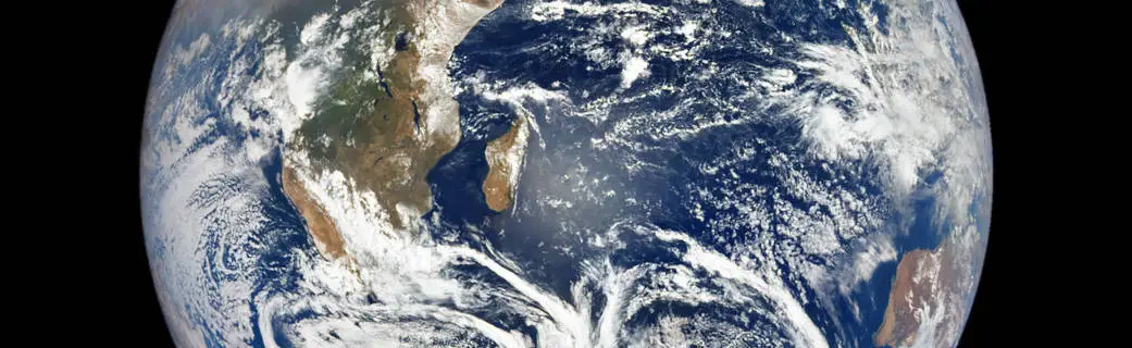
Live: Earth from Space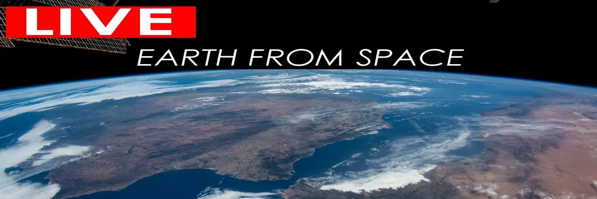 Do you know how beautiful our planet is? The most beautiful panoramas seen from space. Live Earth view happening right now from space at the International Space Station. Thanks to the wonders of modern technology, NASA TV has a channel where you can follow what is happening on board the International Space Station.
- Flight radar
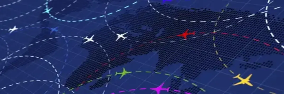 Real time information about thousands of aircraft around the world. You can track any commercial flight around the world on their flight radar!
Ship radar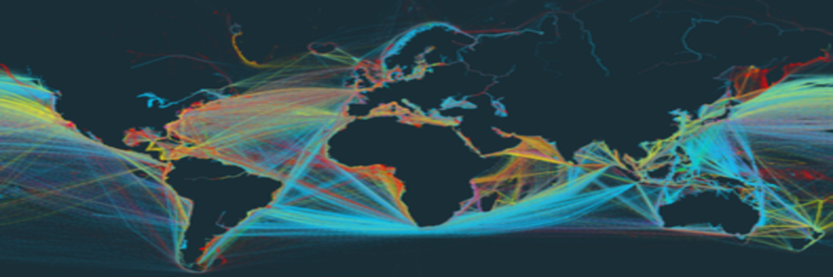 Discover information and vessel positions for vessels around the world. Real time ship positions and marine traffic detected by global AIS network
Road traffic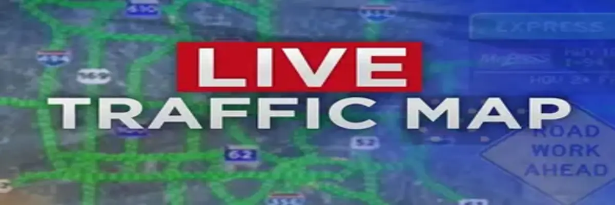 Live traffic conditions: traffic jams, accidents, roadworks and slow moving traffic.
- About WHATWEATHER.today
×